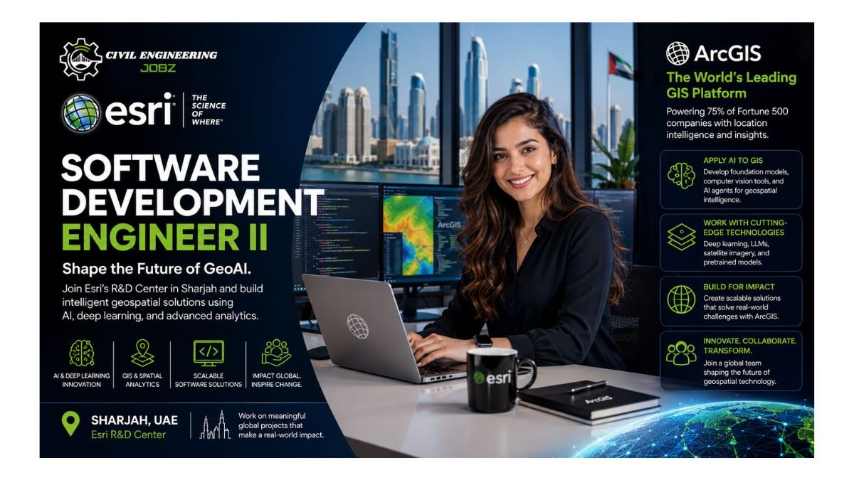
Esri, the world leader in geographic information systems (GIS) and developer of ArcGIS — the leading mapping and analytics software used in 75% of Fortune 500 companies — is hiring a Software Development Engineer II at its R&D Center in Sharjah, UAE. This role applies cutting-edge AI, deep learning, and LLM techniques to revolutionize geospatial analysis, developing foundation models, computer vision tools, AI agents, and pretrained models for GIS data including satellite imagery across the ArcGIS platform.
About Esri — World Leader in GIS & ArcGIS Technology
Market Position: World leader in geographic information systems (GIS), with ArcGIS used in 75% of Fortune 500 companies globally
R&D Center: The Sharjah UAE centre applies cutting-edge AI, deep learning, and LLM techniques to revolutionize geospatial analysis and satellite imagery insights
Team Focus: Develops Deep Learning and LLM models for geospatial analysts and data scientists, enabling spatial data science and AI applications
Diversity Commitment: Committed to a diverse, equitable, and inclusive workplace — unified under the mission of creating positive global change through GIS technology
Engineering Impact & Career Opportunity
Foundation Models: Build foundation and task-specific deep learning and LLM models for computer vision, language, location, and multimodal GIS data
AI Agents: Develop AI Agents and Assistants to perform various geospatial imagery tasks using LangGraph and multi-agent orchestration
Research-to-Production: Perform comparative studies of AI architectures and their applications, translating research into ArcGIS-integrated tools and APIs
Global Impact: Your models and tools are used by geospatial analysts and data scientists working on some of the world’s biggest challenges
Position Overview
This Software Development Engineer II role at Esri’s R&D Center in Sharjah develops foundation and task-specific deep learning and LLM models for various GIS data modalities including satellite imagery. You will develop tools, APIs, and pretrained models for deep learning and LLM workflows, build foundation models for computer vision, language, location, and multimodal data, develop AI Agents and Assistants for imagery tasks, author and maintain samples for ArcGIS platforms, and perform comparative studies of AI architectures to solve complex geospatial problems.
Why This Role Matters: As Software Development Engineer II at Esri Sharjah, you build AI and deep learning models that are deployed in ArcGIS — the GIS platform used by 75% of Fortune 500 companies and relied upon by governments, scientists, and analysts worldwide, develop foundation models for satellite imagery, computer vision, and natural language understanding that advance the state of geospatial AI research and application, create AI Agents using LangGraph and multi-agent frameworks that automate complex geospatial tasks and make GIS analysis faster and more intelligent, apply transformer models, GANs, object detection, semantic segmentation, and super-resolution techniques to real-world remote sensing challenges, and grow your AI engineering career at the world’s leading GIS company — at the intersection of spatial science, deep learning, and global impact.
Key Responsibilities
Deep Learning & LLM Model Development
- Develop tools, APIs, and pretrained models for deep learning and LLM workflows applied to imagery and GIS data
- Develop foundation models for computer vision, language, location, and multimodal GIS data
- Build from scratch and fine-tune multimodal foundation models for geospatial applications
AI Agents & Geospatial Automation
- Develop AI Agents and Assistants to perform various imagery and geospatial analysis tasks
- Build and orchestrate multi-agent systems using tools like LangGraph
- Apply model fine-tuning, safety controls, and data-driven evaluation to validate agent performance
ArcGIS Platform Integration & Samples
- Author and maintain samples showcasing AI and LLM applications across various ArcGIS platforms
- Develop computer vision models for tasks including image classification, object detection, semantic and instance segmentation, GANs, super-resolution, and image inpainting
- Apply transformer models to computer vision and natural language processing for geospatial use cases
Research, Architecture & Evaluation
- Perform comparative studies of AI architectures and their applications to solve complex problems using imagery data
- Stay current with the latest research in spatial data science, deep learning, and LLM techniques
- Translate research innovations into practical, deployable solutions within the ArcGIS ecosystem
Qualifications & Requirements
Educational Requirements
- Bachelor’s degree in Computer Science, Engineering, or related disciplines — from IITs and other top-tier engineering colleges preferred
Experience Requirements
- 2+ years of experience with Python in data science, deep learning, or LLM development
- Existing work authorization for UAE is required
Core Technical Expertise
- Traditional and deep learning-based computer vision techniques: image classification, object detection, semantic and instance segmentation, GANs, super-resolution, image inpainting
- Transformer models applied to computer vision and natural language processing
- Development of AI Assistants and Agents to perform specific geospatial tasks
- Building from scratch and fine-tuning multimodal foundation models
Recommended Qualifications
- Experience applying deep learning to satellite imagery or geospatial datasets
- Familiarity with the ArcGIS suite of products and GIS concepts
- Practical evidence of applying deep learning from theory to code — internship, research, or personal portfolio project
- Experience building and orchestrating multi-agent systems with LangGraph, with model fine-tuning and safety control expertise
About Esri
Esri is the world leader in geographic information systems (GIS) and developer of ArcGIS, the leading mapping and analytics software used in 75% of Fortune 500 companies. At the Esri R&D Center in Sharjah, UAE, the team applies cutting-edge AI, deep learning, and LLM techniques to revolutionize geospatial analysis and derive insight from imagery data. Esri is an equal opportunity employer (EOE) committed to diversity, equity, and inclusion. All qualified applicants receive consideration for employment without regard to race, religion, sex, gender identity, national origin, disability status, or any other protected characteristic. For reasonable accommodation enquiries, contact askcareers@esri.com.
Career Excellence: Join Esri’s Sharjah R&D Center and shape the future of geospatial AI — building foundation models and AI agents that empower analysts and scientists solving the world’s biggest challenges.
Who Should Apply?
- Deep Learning & Computer Vision Engineers: With 2+ years of Python experience and proven expertise in object detection, semantic segmentation, GANs, or transformer model development
- LLM & Foundation Model Developers: With hands-on experience building, fine-tuning, or deploying large language models and multimodal foundation models for real-world applications
- Geospatial AI Researchers: Familiar with ArcGIS or GIS concepts, with experience applying deep learning to satellite imagery or remote sensing datasets
- Multi-Agent Systems Engineers: Experienced with LangGraph or similar frameworks for building and orchestrating AI Agents in production environments
- IIT or Top-Tier CS Graduates in the UAE: With existing UAE work authorization and a strong portfolio of deep learning, LLM, or computer vision projects seeking a high-impact R&D role in Sharjah

Recently opened JOBS 👇🏻
C++ Developer Jobs Dubai UAE 2026
Junior Web Developer Jobs Sharjah UAE 2026